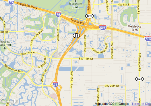
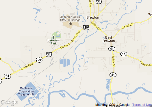
America is incredibly diverse. When I was young (but not that long ago), I always thought it would be fascinating to take a deep look at four or five randomly-chosen Americans to contrast their lives. Recently, this thought resurfaced, and I wondered, “What if I chose a random American and visited their town?” “What if I made this a Google Maps screensaver?” was obviously the next question I had.

I didn’t know what the end result would look like, but after some tweaking, I present Incorporated Places. Check it out, full screen your browser, and get lost in America. From the README:
Incorporated Places randomly chooses an incorporated place weighted by its population, zooms in to it, and pans around the area. Approximately every 90 seconds, it chooses a new place and zooms to it and beings again. You can click to cycle through road, satellite, and hybrid map modes. Other than map mode, the viewer has no control over the experience.
It is intended to make the viewer appreciate the country’s geography, think about the people living in each place, and, most importantly, please viewers aesthetically.

The source and implementation details are available on Github. Hit ⌘⇧3 if you see anything interesting!

P.S.: Looks great if you set it up as a screensaver. Websaver seemed to be the easiest way to do this.
